Surveys
Unlocking new dimensions of data
We leverage the power of advanced Unmanned Aerial Vehicles (UAVs) and cutting-edge sensor technology to provide high-resolution, georeferenced aerial data. Our drone-based surveys offer a safer, faster, and more cost-effective alternative to traditional methods, providing a comprehensive view of your project site from a new perspective.
We specialize in three primary aerial surveying applications, each tailored to meet the unique demands of specific industries and projects.

Agricultural Survey
An agricultural survey is a detailed analysis of a farm or rural property. It goes beyond a simple boundary survey to provide critical data about the land’s characteristics, resources, and potential. This information is vital for sustainable farming, optimizing yields, and ensuring compliance with agricultural regulations
Our Approach:
- Initial Consultation
- On site data collection
- Data analysis & Reporting
- Strategic Recommendations
Mining Survey
Optimizing Operations from Above and Below
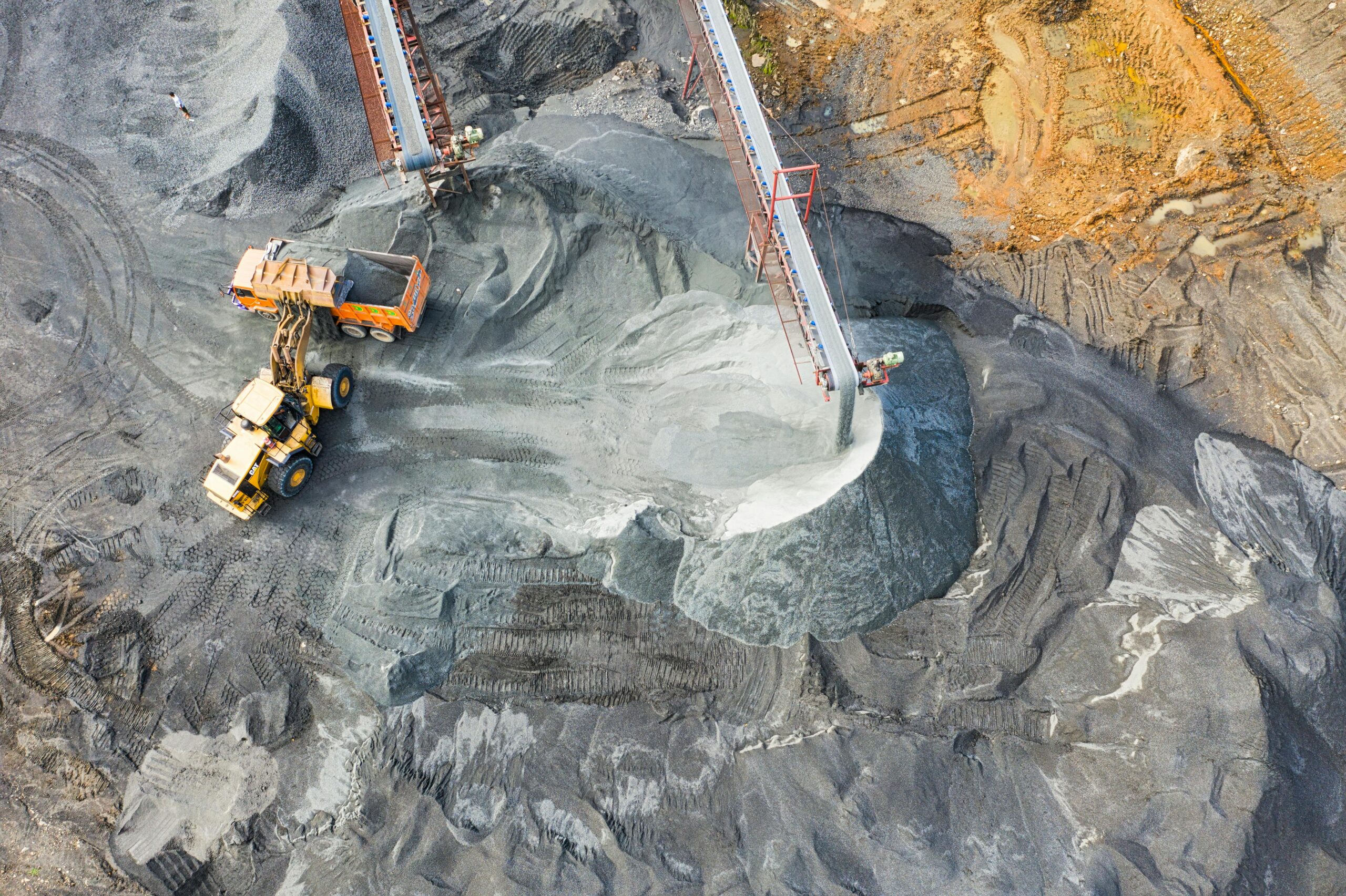
The mining industry demands highly accurate data for everything from resource estimation to safety and compliance. Our aerial mining surveys provide a clear, real-time picture of open-pit and quarry operations, helping you maximize efficiency and minimize risk.
Our Services:
- Volumetric Analysis
- Wall monitoring and Updating Pit faces
- Haul Road and Infrastructure Planning
- Environmental Monitoring


Topographic Survey
Mapping the Earth's Features with Incredible Detail
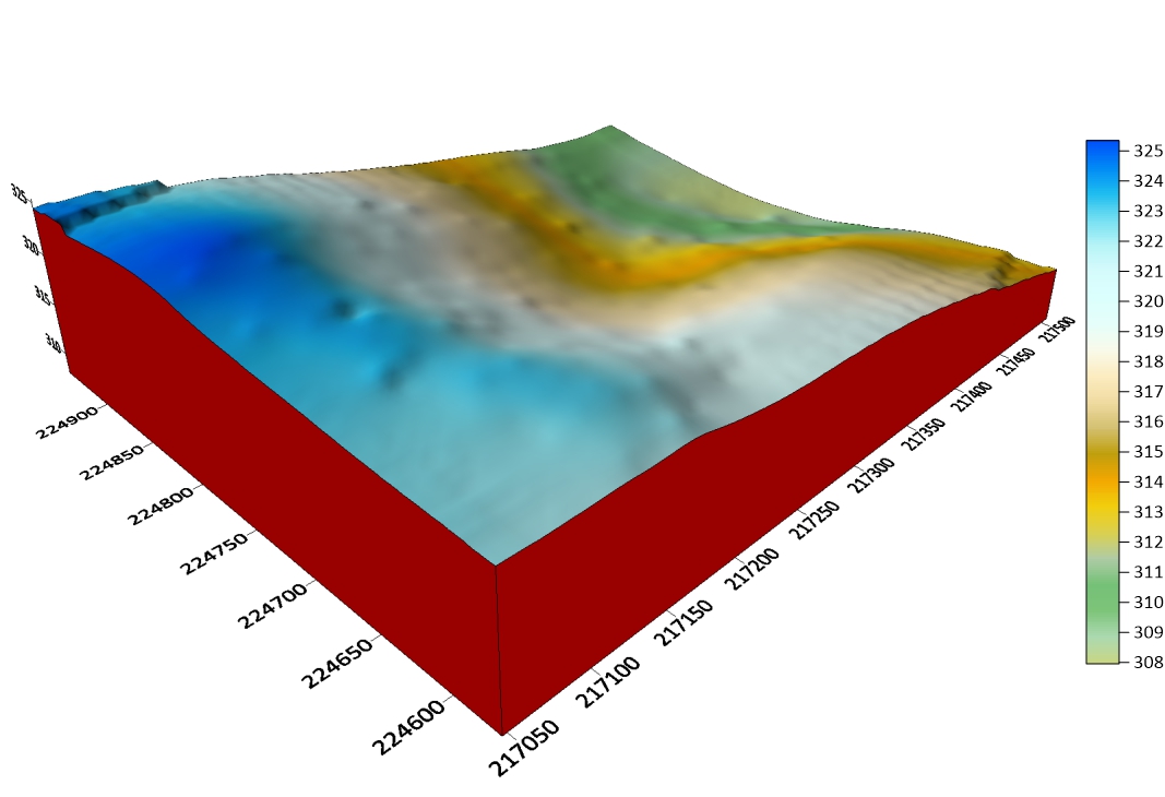
Topographical surveys are a crucial first step for any construction or land development project. They create a detailed 3D map of a site’s natural and man-made features, providing the essential elevation data that engineers, architects, and planners need to begin their work. Our aerial topographical surveys are exceptionally fast and comprehensive, especially for large or difficult-to-access sites.
Our Services:
- Infrastructure planning
- Architecture & Engineering Design
- Volumetric Analysis
