Topographic Survey
We specialize in delivering detailed and accurate topographic surveys to map the natural and man-made features of your land.
Trust us to provide the precise data you need for planning, design, development projects, mining surveys, volume computation, deformation analysis, and safety assessments.
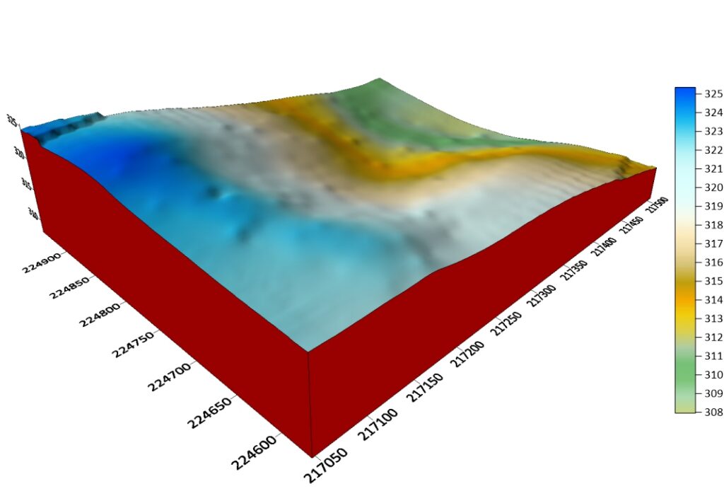
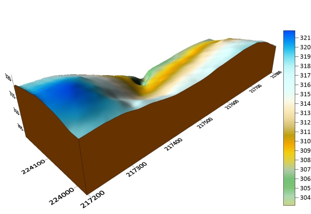
Before
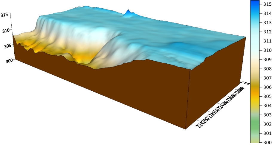
After
Brief Description
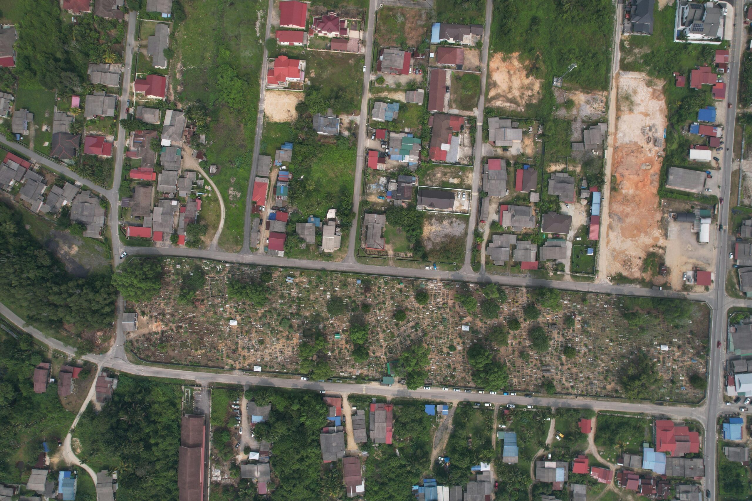
We excel in delivering comprehensive surveying services tailored to your project needs. Our Topographic Surveying creates detailed 3D maps of your site, capturing natural and man-made features with precision using advanced drones, GPS, and total stations. These maps provide essential elevation data, empowering architects, engineers, and planners to design and develop effectively.
For the mining sector, our Mining Surveys map both underground and surface features with cutting-edge LiDAR and GPS technology, ensuring safe and efficient operations. We support site planning, volume computation, and deformation monitoring, making us a trusted partner for mining projects.
Additionally, our Deformation and Safety Analysis leverages advanced techniques to monitor structural and land movement, guaranteeing safety and stability. We identify risks, assess deformation, and implement preventive measures, safeguarding construction and mining sites with unparalleled expertise.Trust KOBSTECH to provide the precision and data-driven insights you need for successful project outcomes across these specialized surveying services.
Our Services
We provide comprehensive topographic survey services for a wide range of projects, including:

Architecture & Engineering Design
We provide the precise data needed to design foundations, grading, drainage systems, and site layouts that are perfectly tailored to the existing terrain.
Infrastructure Planning
Our surveys are crucial for the development of roads, bridges, and utility networks, helping to identify the most feasible and cost-effective routes.
Volumetric Analysis
We accurately measure the volume of earthworks for cut-and-fill operations, providing essential data for cost estimation and project management.
Our Topographic Survey Solutions
1. Setting Out and Detailing the Survey
Setting out and detailing the survey ensure precise project execution. Setting out transfers design plans to the site using total stations, GPS, and laser levels to mark key points and alignments. Detailing the survey enhances this with detailed measurements, contours, and 3D mapping via drones and GIS, providing comprehensive data for planning and compliance. Trust us for accuracy and efficiency.
2. Transportation and Road Survey
Our Transportation and Road Survey ensures precise infrastructure development. Setting out marks, alignments and gradients with GPS, total stations, and laser levels, while detailing the survey uses drones and GIS to map terrain and obstacles, creating detailed 2D/3D models. Rely on us for accuracy and effective planning.
3. Deformation Survey
Our Deformation Survey ensures structural and land stability. Setting out establishes reference points with GPS, total stations, and laser levels, while detailing the survey uses drones, LiDAR, and GIS to monitor deformation and create detailed 3D models. Rely on us for accurate safety assessments.
Why Choose Us
risk mitigation
By identifying potential issues like steep slopes, drainage patterns, or unstable soil conditions early on, we help mitigate risks and prevent costly delays and errors during construction.
Cost Saving
An accurate survey helps in precise quantity take-offs for materials and earthworks, leading to more accurate budgeting and fewer unexpected costs.
Improved Decision making
The detailed data we provide enables you to make informed decisions about site layout, design, and environmental impact, ensuring your project is both functional and sustainable.
Regulatory Compliance
Our detailed documentation ensures a smooth process for obtaining the necessary permits and approvals from local authorities.
