UAV Drone Survey
We combine over a decade of professional land and geospatial surveying experience with the latest UAV (drone) technology to deliver fast, accurate, and cost-effective mapping solutions. Our drone surveys provide the detailed spatial data you need to make informed decisions whether you are managing land, planning construction, monitoring mining operations, or evaluating environmental conditions.


Brief Description
A UAV Survey also known as a drone survey uses high precision drones equipped with advanced cameras and sensors to capture detailed aerial images and measurements of your site. These images are processed using professional mapping software to create accurate 2D maps, 3D models, elevation data, and volume calculations.
In simple terms, we give you a clear, measurable, and reliable aerial view of your project, with accuracy down to the centimeter.
Our Services
Our UAV surveying services support a wide range of sectors, including:
1. Construction & Engineering: Site mapping, progress tracking, and volume estimation.
2. Mining & Quarrying: Stockpile measurement, pit mapping, and operational planning.
3. Real Estate & Development: Land assessments and project visualization.
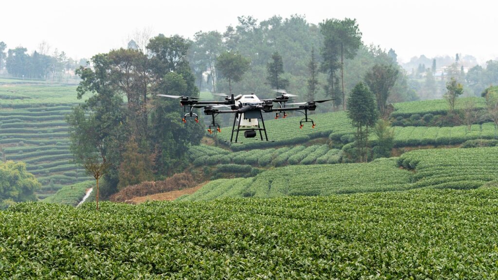
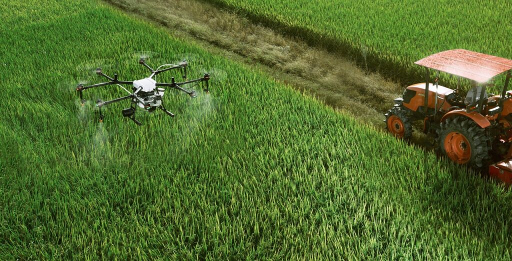
4. Agriculture & Forestry: Crop health monitoring, irrigation mapping, and land management.
5. Environmental & Coastal Management: Erosion monitoring,flood assessment,and habitat studies.
