Agricultural Survey
Agricultural Survey Services
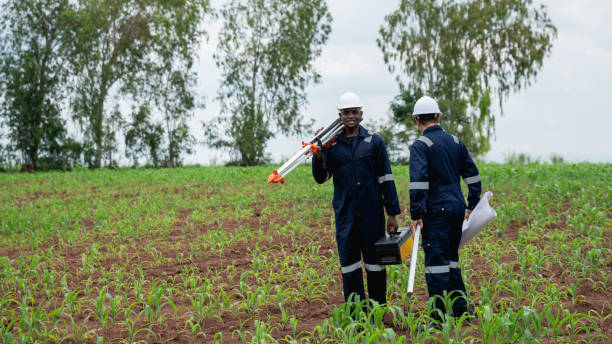
Welcome to our Agriculture Survey section! At KOBSTECH, we provide specialized surveying solutions tailored to the agricultural sector, ensuring precision and productivity for your land.
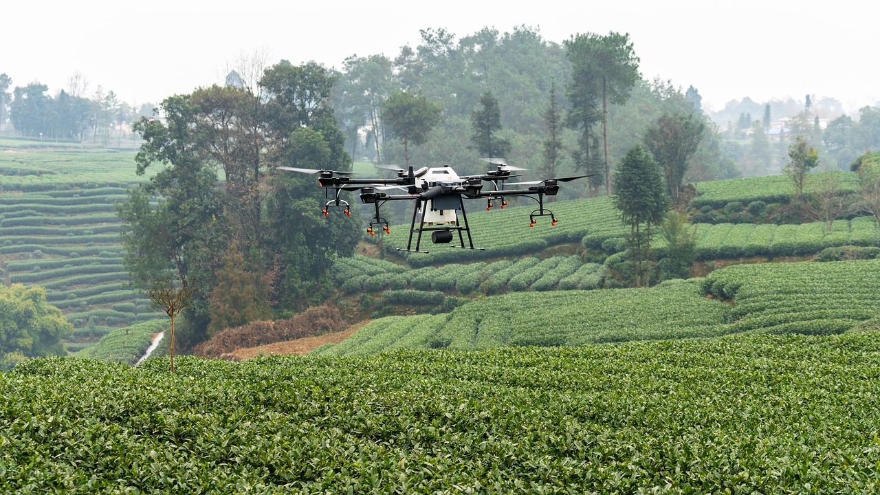
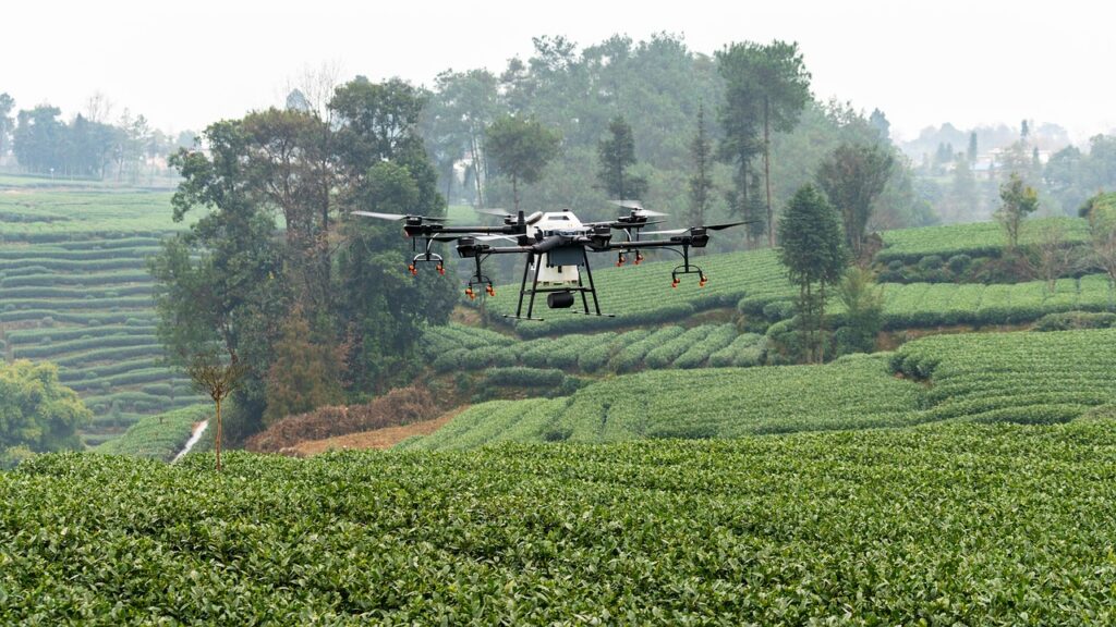
Our expert team utilizes advanced technologies such as drones, GPS, and GIS to map terrain, assess soil conditions, and delineate boundaries with unmatched accuracy.
We offer comprehensive services including land use planning, crop monitoring, irrigation system design, and yield optimization analysis. Whether you’re managing large-scale farms or smallholdings, our surveys provide critical data to enhance farming efficiency, support sustainable practices, and secure land tenure.
Trust KOBSTECH to cultivate success from the ground up with our reliable and innovative agricultural surveying expertise.


Precision Farming
Precision farming is the widely accepted industry standard, referring to a data-driven agricultural approach that uses technology to optimize field-level management for improved productivity and sustainability. It involves tailoring farming practices to specific areas within a field based on detailed data, such as soil conditions, crop health, and weather patterns.
It goes beyond a simple boundary survey to provide critical data about the land’s characteristics, resources, and potential.
This information is vital for sustainable farming, optimizing yields, and ensuring compliance with agricultural regulations

Our Agricultural Survey Solutions
Our process is designed to give you a complete and actionable picture of your land. We tailor our services to meet the unique needs of each client and project.
1. Land Use Planning Survey: Maps and analyzes agricultural land to optimize its use for crops, livestock, or mixed farming, ensuring efficient layout and resource allocation.
2. Soil and Terrain Assessment Survey Description: Evaluates soil types, slopes, and drainage patterns using GIS and drone technology to guide crop selection, irrigation planning, and erosion control.
3. Crop Monitoring and Yield Mapping Survey Description: Tracks crop health and growth stages with aerial imagery and GPS, producing yield maps to enhance productivity and inform harvesting strategies.
4. Irrigation System Design Survey: Surveys land topography and water sources to design efficient irrigation systems, ensuring optimal water distribution and conservation.
5.Boundary Demarcation Survey: Defines and marks farm boundaries with precision to secure land tenure, prevent disputes, and support legal registration under Ghanaian land laws.
6.Drainage and Erosion Control Survey Description: Identifies areas prone to waterlogging or erosion, providing data for designing drainage systems and implementing soil conservation measures.
