Cadastral Survey
Our cadastral surveying services provide the ultimate solution for defining and mapping boundaries while safeguarding and registering your property rights.


Brief Description
Cadastral survey is a specialized survey conducted to demarcate, measure, and map land boundaries for land registration, ownership documentation, and the establishment of legal title. It is a critical component of land administration, ensuring accurate representation of parcels of land, including their size, shape, location, and adjacencies, to support property rights and resolve disputes.
Key Legal Framework Primary Legislation: The Survey Act, 1962 (Act 127) serves as the foundational law regulating cadastral surveys in Ghana. Section 1 of the Act empowers the Director of Surveys (now under the Survey and Mapping Division of the Lands Commission) to conduct or oversee cadastral surveys through licensed surveyors. These surveys must adhere to prescribed standards for accuracy, including the submission of field books, computations, and plans for official approval before use in land registration processes.
Our Services
Our cadastral surveys are essential for a variety of critical needs.
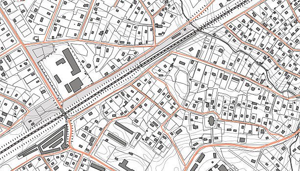
Cadastral Plan & Land Title registration
We prepare the accurate survey plans required by the Lands Commission for formal land registration. This process secures your legal rights and provides a clear record of ownership.

Property subdivision
Whether you are dividing a large tract of land for commercial development or partitioning a family property, we provide the expertise to create new, legally-defined lots. Our work ensures that each new parcel is accurately mapped and documented, facilitating a smooth and compliant process.
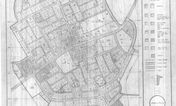
Boundry disputes
In cases of disagreement over property lines, our licensed surveyors conduct thorough research and precise measurements to provide definitive boundary lines. Our professional documentation serves as a reliable basis for resolving conflicts and preventing future issues.
Why Choose Us
Investing in a professional cadastral survey offers numerous advantages
Supporting Regulations
The Cadastral Survey (Land Surveys) Regulations (under LI 1984, derived from Act 127) provide detailed procedural guidelines, including requirements for boundary demarcation, pillar mounting, and plan preparation to ensure compliance with national standards.
Institutional Oversights
As per Section 20 of the Lands Commission Act, 2008 (Act 767), the Survey and Mapping Division (SMD) of the Lands Commission supervises, regulates, and controls cadastral surveys for land use and registration purposes, including verification against zoning schemes to prevent discrepancies.
Accurate Development Planning
Practical ImplicationsCadastral surveys in Ghana must be performed by licensed surveyors registered with the Ghana Institution of Surveyors (GhIS). They involve tools like total stations, GPS, and drones for precision, and the resulting plans are submitted to the Public and Vested Lands Management Division (PVLMD) for concurrence and endorsement.
Enhanced Poperty Value
A professionally-surveyed property with clear, registered boundaries is considered more valuable and secure, attracting more serious buyers and investors.
